As early as 1670, European fur traders, and explorers travelled this area of Canada, west of the Hudson Bay. King Charles II granted a charter that established trading posts on the shore of the Hudson Bay in the same year
Henry Kelsey was dispatched in 1691 to travel to the new western world and arrived at The Pas, Manitoba. He abandoned his canoe south of Cumberland House and continued on foot to the prairies. On his return trip he paddled the Saskatchewan River past Nipawin with a large flotilla of priceless furs.
Since only physically vigorous young First Nations were capable of making the voyages by canoe over the hundreds of miles of terrifying waters, the women and children would watch their husbands and sons paddle away. The men would turn to their families and say “Nipawi”, which meant (you) stand and (wait). The location located four miles south and 1.5 miles west of Nipawin became known to them as “Nipowewin” which meant “standing place” or “waiting place”.
By 1748, LaVerendrye and his sons had established a line of trading posts between Montreal and the forks of the Saskatchewan River, and Chevalier de la Corne had built a trading post at a site upstream from Nipowewin. These two waiting places became differentiated as “Upper-Nipowewin” (Fort a la Corne) and “Lower-Nipowewin” (Nipawin). At the latter site two Canadians, Francois LeBlanc and James Finlay, carried on a brisk trade with the First Nations of the area.
It is also recorded that Nipawin’s name is derived from the Cree word “nipawin” which meant “a bed, or a resting place” which was originally applied to an area along the river now flooded under Codette Lake. The flats were the site where the trading post constructed by Francois and Finlay was situated (Lower-Nipowewin).
In 1906, the first homestead was filed, followed by settlers and lumber mills
Like all commercial enterprises based on fashion, the fur trade was doomed as the styles of Europe changed, and men yearned for the challenge of virgin land. In 1906, the first homestead was filed in the Lost River district, followed by settlers near the Lower Nipowewin site. Lumber mills dotted the forests and great spring river runs of logs glided down the Carrot and Saskatchewan Rivers to The Pas for processing.
In 1924, the Town of Ravine Bank moved all the buildings 4 miles closer to the CPR Station known as Nipawin.
The site of the old Nipawin saw activity for the first time in 1910 with the establishment of a trading post. The CPR located four miles northwest of this settlement at a place called Ravine Bank. The immense advantages of a railroad link with the outside to receive and dispatch goods, grain, livestock, lumber, mail, passengers and the potential for a thriving distribution centre in the north was immediately recognized. Therefore, with advent of the railway in 1924 and through a feat of incredible resourcefulness and endurance the men of Ravine Bank moved every building with teams of horses to the carefully laid-out town site in the jack pines adjacent to the station which bore the name NIPAWIN.
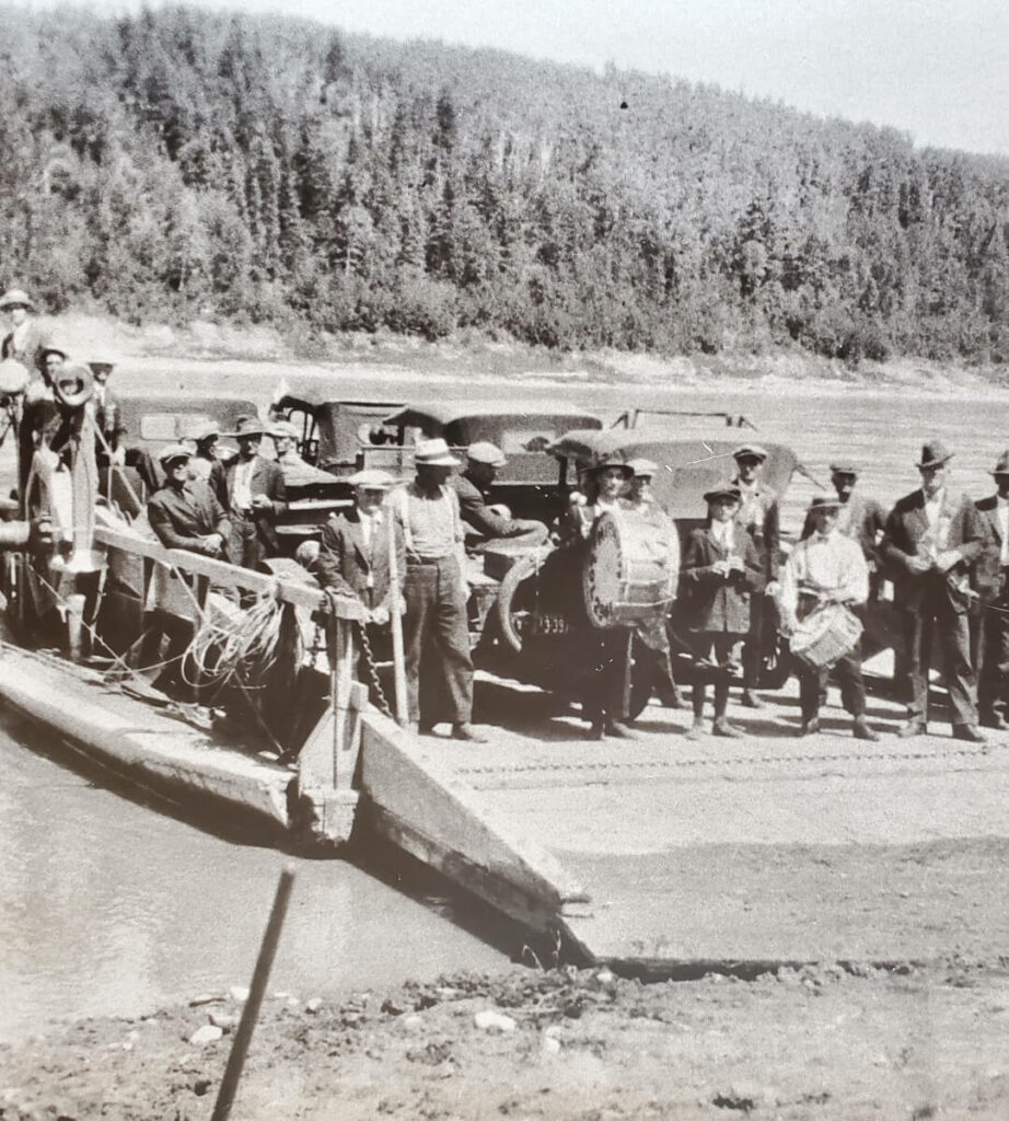
Nipawin held its first village election on June 2, 1925. On May 1, 1937, Nipawin formally received town status.
... in 1928, the CPR built a bridge across the Saskatchewan River
The CPR Railway built a million dollar bridge over the Saskatchewan River in 1928, and the bridge which is still in use, is now known as Nipawin’s crooked bridge.
Nipawin soon became a bustling community and grew to be one of the major trading centres in the northeast. Diversification in lumber, agriculture, trapping, business, and recreation enabled the economy to grow by leaps and bounds.
In 1963, SaskPower completed the construction of the first of two hydro dams on the Saskatchewan River (E.B. Campbell). A new bridge was constructed in 1974 providing modern day access on Highway 55. In 1986, just 5 kilometres upstream from the Town of Nipawin, the second hydroelectric dam was completed. Francois-Finlay Dam placed Nipawin as the “Town on Two Lakes”: Tobin Lake & Codette Lake